Survair
Mapping & Surveillance Drone
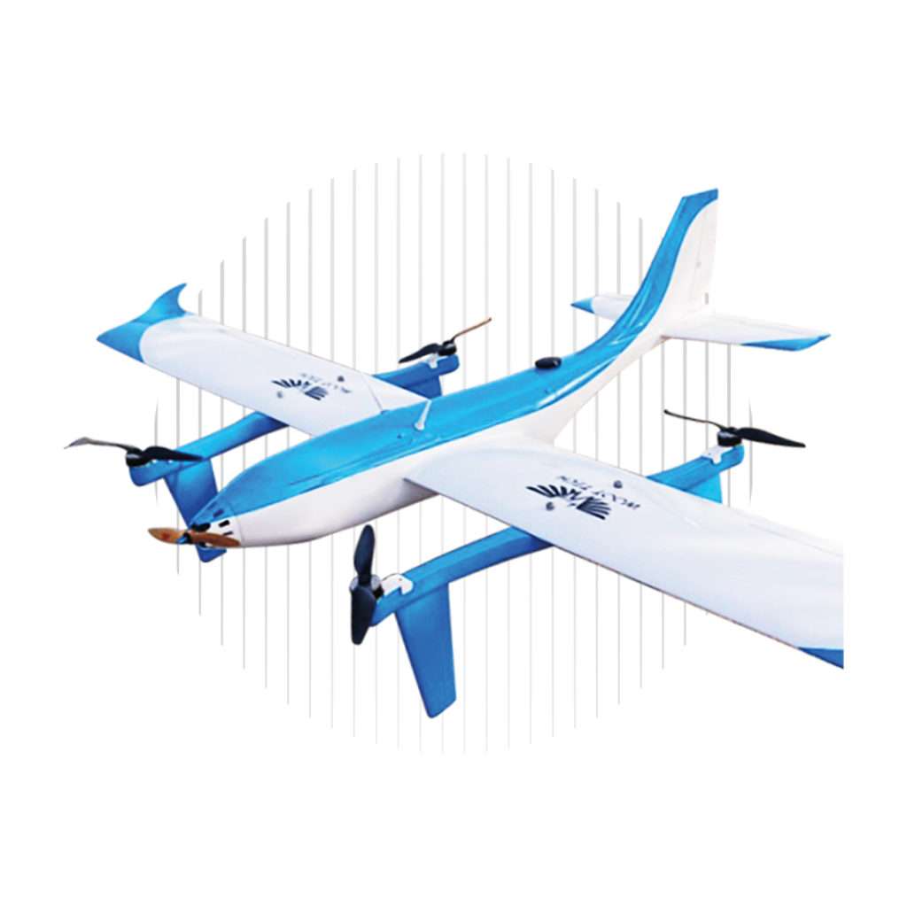
Survair distinguishes itself as a dedicated fixed-wing VTOL UAV designed with
precision for mapping and surveillance purposes.
In addition to its core capabilities, Survair excels in real-time video surveillance
and infrastructure monitoring. The drone showcases remarkable versatility by
effortlessly incorporating various payloads, including Lidar, multispectral sensors, EO/IR cameras, and thermal imaging devices.

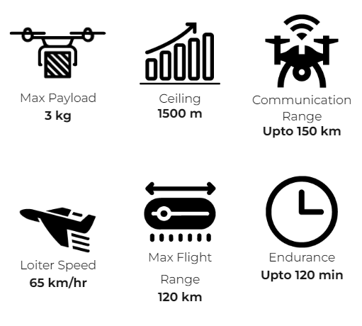
Max Payload
3 kg

Ceiling
1500 m

Communication Range
Upto 150 km

Loiter Speed
65 km/hr

Max Flight Range
120 km

Endurance
Upto 120 min

Survair
Mapping & Surveillance Drone
Survair distinguishes itself as a dedicated fixed-wing VTOL UAV designed with
precision for mapping and surveillance purposes.
In addition to its core capabilities, Survair excels in real-time video surveillance
and infrastructure monitoring. The drone showcases remarkable versatility by
effortlessly incorporating various payloads, including Lidar, multispectral sensors, EO/IR cameras, and thermal imaging devices.

Survair
Mapping / Surveillance Drone

Brief Introduction
Survair distinguishes itself as a dedicated fixed-wing VTOL UAV designed with precision for mapping and surveillance purposes with a MTOW of 25 kg. In addition to its core capabilities, Survair excels in real-time video surveillance and infrastructure monitoring. The drone also showcases a remarkable versatility by incorporating various payloads, including Lidar, multispectral sensors, EO/IR cameras, and thermal imaging devices.


